Hard freeze watch issued for metro Albany
Wind chill advisory issued for Monday morning in Lee and Terrell counties
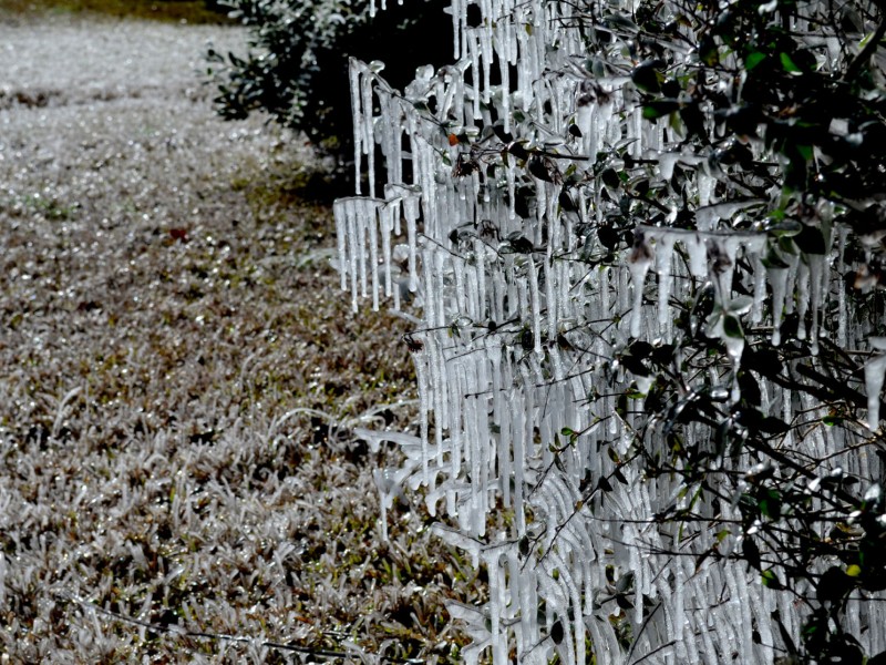
File Photo
By Jim Hendricks
ALBANY — The National Weather Service has issued a hard-freeze watch early Tuesday and a wind chill advisory early New Year’s Day for part of the metro Albany area.
The wind chill advisory 4 a.m.-11 a.m. Monday was issued for Lee and Terrell counties in metro Albany, as well as Calhoun, Clay, Early, Quitman and Randolph counties. With the winds, the temperature will feel like it’s 20 or lower, which brings danger of hypothermia. A wind chill is likely to be issued Tuesday night for much of Southwest Georgia.
Counties in the hard freeze watch area 4 a.m.-9 a.m. Tuesday are Dougherty, Lee, Terrell and Worth in metro Albany, along with Calhoun, Clay, Early, Quitman, Randolph and Turner. The Weather Service says a prolonged period of subfreezing temperatures are dangerous for pets, livestock and sensitive vegetation, and that exposed water pipes are at risk of freezing and bursting.
Lows this week are expected to run 23-25 with highs of 42-45 through Friday.
“By Monday night, the center of the strong Arctic high will slide southward into Missouri with continued northerly flow and cold air advection into our area,” NWS meteorologist Don Van Dyke said Sunday in the forecast discussion. “Although skies will be mostly clear, northerly winds are expected to remain around 10 mph.
“While this may keep temperatures from dropping as low as they could given the very dry air mass and clear skies, it will also allow for another night of low wind chills as well.”
Van Dyke said the forecast called for “lows near 20 across the northwest portions of the area. This is the local hard freeze criteria, so we’ve issued a hard freeze watch for Monday night for counties where the official forecast shows a low of 23 or less to account for some uncertainty. Another wind chill advisory is also likely on Monday night, probably over most of the area.”
He said Tuesday and Tuesday night will continue clear and cold with highs in the 40s and lows from the lower 20s across the northwest to lower 30s across the southeast Big Bend area of Florida. Winds will be lighter, but wind chills could still reach the upper teens to near 20 across in some areas, he said.
On Wednesday, a “fairly impressive” upper level disturbance will move through the Southwest Georgia/north Florida area, which has a slim chance of resulting in wintry precipitation.
Although it still looks moisture starved at this time, it bears watching since the atmosphere will likely be cold enough to support wintry precip if the shortwave digs a little farther west or comes in stronger than currently expected,” Van Dyke said. “Northwest flow behind this system will continue to advect cold and dry air into the area for the rest of the week and into the weekend. There are some signs of a gradual warm-up starting by the end of the weekend.”
Related Articles

James Rubino installed in new role at Marine Corps Logistics Command in Albany
James L. Rubino recently assumed the role as executive deputy of Marine Corps Logistics Command in Albany. In his new role he will oversee integrated logistics support.

Rain depresses voter turnout in Dougherty County
“A lot of people don’t vote when it’s raining. People don’t do a lot of things when it’s raining.”
City of Albany faces shortfall for police, fire salaries
“We can’t tell staff to hire more police officers and then complain at what it costs.”