Chances are slim for wintry precipitation in Albany
It’s going to be a cold first week of 2018
By Jim Hendricks
ALBANY — Could the new year come in Sunday night with a snow flurry?
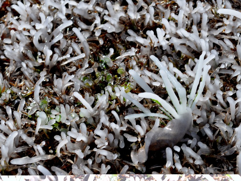
There’s an small chance, but weather forecasters say moisture expected to be in the area Sunday likely will have moved out before a cold front reaches the area. While a wintry mix of precipitation is uncertain, the National Weather Service office in Tallahassee is forecasting some downright frigid lows this week.
In the forecast discussion Saturday, NWS meteorologist Don Van Dyke said that pockets of light rain will move through the region Sunday, with expected rainfall amounts of a tenth of an inch or less. That rain’s expected to start sometime after 1 p.m. and should move out of the area before the Arctic cold front arrives.
“Much colder air will start to advect into the area on Sunday night, but right now it looks like the rain will exit the area just before the cold air moves in, so we appear to avoid any wintry mischief on Sunday night for now,” he said. “It’s a close call, though, with the timing just a few hours off, so we’ll need to keep a close eye on this over the next 24 hours.”
Last week there had been some thought that moisture out of the Gulf could move up this way toward the middle of the week, creating an opportunity for a wintry mix. The forecast Saturday indicated that wasn’t likely, though it couldn’t be ruled out. It also shows some bone-chilling cold for several nights. Van Dyke said that there may be cause to issue wind chill and hard freeze advisories at some points during the week.
With temperatures dipping just below freezing Sunday night, New Year’s Day will only warm up to about 43 degrees, before Monday night’s low falls to 25. It won’t be much warmer the rest of the week.
“It’s going to be a relatively chilly week with below-average temperatures,” Van Dyke said, adding that the main weather disturbance to watch for is the one that could arrive Tuesday night.
“Right now with a very dry airmass expected to be ahead of it and little moisture advection, it looks like a dry system for the local area,” he said. “However, the atmosphere will likely be cold enough to support wintry precip should the shortwave (disturbance) dig a little farther west or come in stronger than expected, so it bears watching.
“Another reinforcing shot of cold, dry air appears to move in behind it for Thursday through the remainder of the week. Highs will generally be in the 40s to lower 50s with overnight lows mainly in the 20s. We will probably be close to wind chill advisory criteria every night from Monday night through Thursday night.”
As of Saturday evening, the forecast was:
— Sunday: high, 48; low, 31; 40 percent chance of rain after 1 p.m.;
— Monday: Mostly clear; high, 43; wind, 5-10 mph; low, 25;
— Tuesday: Sunny; high, 42; low, 25;
— Wednesday: Mostly sunny; high, 46; low, 25;
— Thursday: Sunny; high, 44; low, 24.
Related Articles

James Rubino installed in new role at Marine Corps Logistics Command in Albany
James L. Rubino recently assumed the role as executive deputy of Marine Corps Logistics Command in Albany. In his new role he will oversee integrated logistics support.

Rain depresses voter turnout in Dougherty County
“A lot of people don’t vote when it’s raining. People don’t do a lot of things when it’s raining.”
City of Albany faces shortfall for police, fire salaries
“We can’t tell staff to hire more police officers and then complain at what it costs.”