February to end on a wet note in metro Albany
Temperatures should get more seasonable by the end of the week
By Jim Hendricks
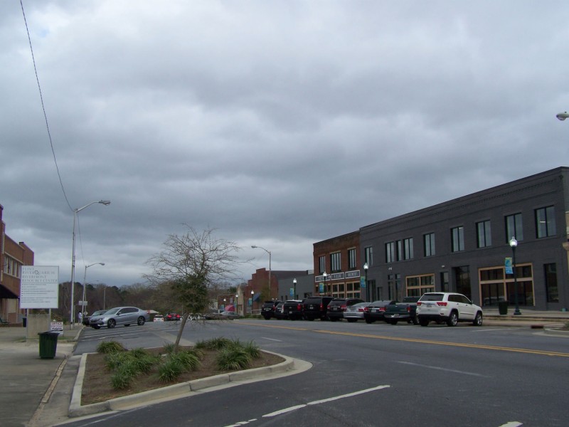
ALBANY — The work week will get off to a foggy, soggy start Monday, but should finish out sunny and more seasonable, according to the National Weather Service’s forecast Sunday afternoon.
An upper level trough and surface front were to move toward the region Sunday night, with unstable conditions ahead of the cold front creating to the possibility of strong storms Monday morning, which also was expected to be foggy.
“The surface cold front will move into the forecast area on Monday afternoon,” Weather Service meteorologist Kelly Godsey said in the forecast discussion at the Tallahassee office that covers Southwest Georgia. “Model guidance is in generally good agreement that the best chances of rain will be across the western areas during the morning hours and then shifting into South Central Georgia and portions of the Florida Big Bend during the afternoon.”
In unstable air mass ahead of the front, he said, will be able to support thunderstorms. “A few of the stronger storms could be capable of producing some gusty winds, mainly in Southeast Alabama and South Georgia,” he said.
The front is expected to stall just south of the region overnight Monday, allowing slightly drier air to filter into the northern portions of the region Tuesday. Lingering cloud cover is expected to keep afternoon highs on Tuesday in the mid-70s. The boundary is forecast to lift back north of the forecast area, with a humid air-mass returning.
“Initially a building ridge across the Gulf of Mexico will bring a return of unusually warm and humid conditions back to the region through Wednesday evening,” Godsey said. “It looks as though a frontal system will race quickly across the forecast area on Thursday afternoon. The forcing with this system is fairly weak across the Gulf Coast so rain amounts should be fairly light.
“The big story will be a significant air-mass change with highs Friday through the weekend generally in the low to mid-70s and overnight lows in the mid- to upper 40s. While this will feel much cooler, these temperatures are much closer to normal for early March.”
According to AWIS Weather Service in Auburn, Ala., the typical temperatures for this time of year are a high of 68 and a low of 43.
The NWS forecast for metro Albany for the week is:
Monday: Showers and possibly a thunderstorm. Patchy fog before 7 a.m. High near 74. South wind 5 to 10 mph becoming west northwest in the afternoon. Chance of precipitation is 80 percent. New rainfall amounts between a half and three-quarters.
Monday Night: Mostly cloudy, with a low around 56. North northeast wind around 5 mph.
Tuesday: Partly sunny, with a high near 71. East wind around 10 mph.
Tuesday night: Mostly cloudy, with a low around 58.
Wednesday: A 30 percent chance of showers. Mostly cloudy, with a high near 76.
Wednesday night: A 20 percent chance of showers. Mostly cloudy, with a low around 65.
Thursday: A 50 percent chance of showers. Mostly cloudy, with a high near 78. Breezy.
Thursday night: Partly cloudy, with a low around 50.
Friday: Sunny, with a high near 69.
Friday night: Mostly clear, with a low around 44.
Saturday: Sunny, with a high near 69.
Related Articles

James Rubino installed in new role at Marine Corps Logistics Command in Albany
James L. Rubino recently assumed the role as executive deputy of Marine Corps Logistics Command in Albany. In his new role he will oversee integrated logistics support.

Rain depresses voter turnout in Dougherty County
“A lot of people don’t vote when it’s raining. People don’t do a lot of things when it’s raining.”
City of Albany faces shortfall for police, fire salaries
“We can’t tell staff to hire more police officers and then complain at what it costs.”