Storms, winds expected in Albany area Friday
Slow-moving front is expected to dump 3-5 inches of rain in Southwest Georgia
By Jim Hendricks
ALBANY — Heavy and possible damaging winds are expected to reach the metro Albany area Friday, bringing a wet end to a week that started out the same way.
Easter weekend was a wet one, and forecasters with the National Weather Service office in Tallahassee, which includes Southwest Georgia in its coverage area, say with the ground still soggy in many places from that last event, there are concerns that flash floods could develop.
“Basically what we’re looking at is a slow-moving front,” Jessica Fieux, meteorologist with the NWS Warning Coordination Team at the Tallahassee office, said Wednesday. “It looks like you could see rain Friday late morning and early afternoon, Saturday morning.”
With the amount that forecasters expect to fall, Albany’s rain deficit for the year should quickly turn into a surplus.
“The heaviest rain you’re looking at (in Albany) will be Friday and into Friday night,” Fieux said. “Rainfall amount-wise, we’re looking at 3 to 5 inches, with isolated higher amounts possible.”
NWS forecasters say the rain is being caused by a slow-moving cold front that is expected to approach the region Thursday afternoon, bringing scattered showers and thunderstorms. A strong mid-level disturbance is expected to move across the Gulf Thursday night, increasing thunderstorm activity along the front.
There could be a chance that areas to the north and west of Albany could see the moisture levels rising Thursday, but the NWS forecast on Wednesday afternoon for Albany was a 40 percent chance of rain Thursday, increasing to 70 percent Thursday night. Friday and Friday night are near certainties.
Forecasters with the NWS say that some areas of Southwest Georgia have seen rainfall 4-6 inches above normal over the past two weeks.
“We’ll have to monitor for the possibility of any flash-flooding,” Fieux said. “That’s a concern. We just had the (Easter) event, so the ground is more wet and the rivers are a little bit higher this time.
“There’s also potential for severe weather in that Friday/Friday night time frame. We have the potential for damaging winds and isolated tornadoes.”
South-southwesterly winds are expected to be at 10-15 mph Friday, with gusts up to 25 mph.
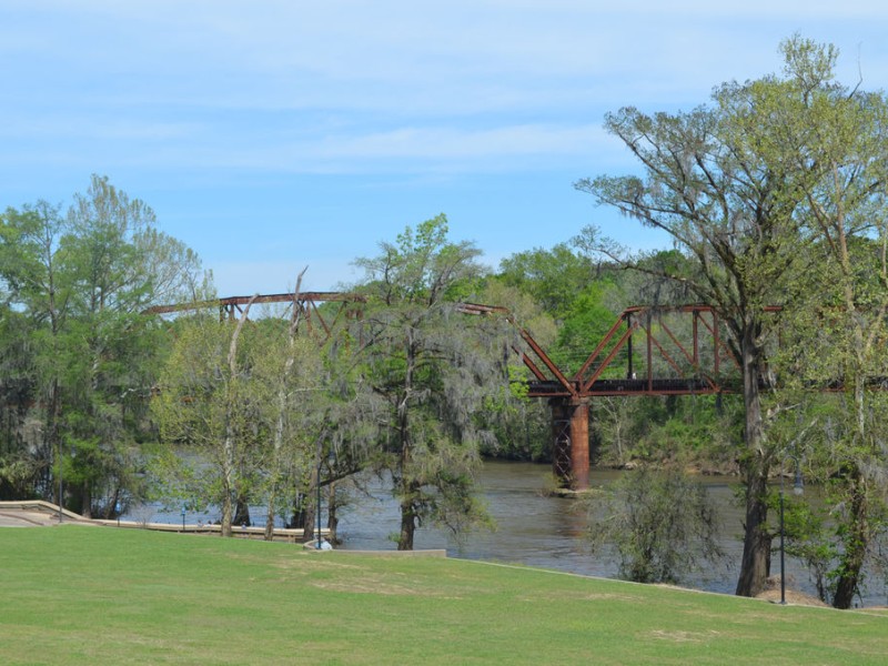
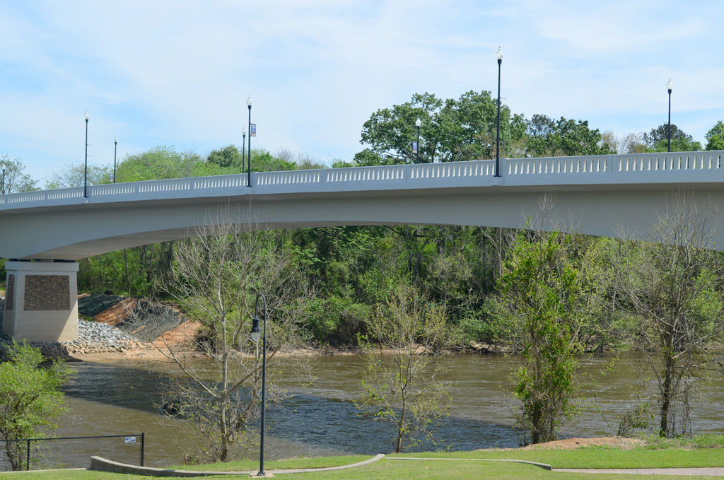
The cold front is expected to have moved south of the region Saturday, ending the heavy rainfall threat, forecasters say. They noted that with several rivers already higher than normal, impact from the rain could be felt in those waterways into next week. The Flint River was not listed as one expected to be most effected by the rain by the NWS. The Flint at Albany Wednesday afternoon was at 6.11 feet and was projected to reach 10.3 feet by Monday afternoon. That’s well below the 26-foot flood stage in Albany.
Related Articles

James Rubino installed in new role at Marine Corps Logistics Command in Albany
James L. Rubino recently assumed the role as executive deputy of Marine Corps Logistics Command in Albany. In his new role he will oversee integrated logistics support.

Rain depresses voter turnout in Dougherty County
“A lot of people don’t vote when it’s raining. People don’t do a lot of things when it’s raining.”
City of Albany faces shortfall for police, fire salaries
“We can’t tell staff to hire more police officers and then complain at what it costs.”