
Tropical storm Colin brings heavy rains to Southwest Georgia
Albany area under flood watch; up to 5 inches of rain expected
By Brad McEwen
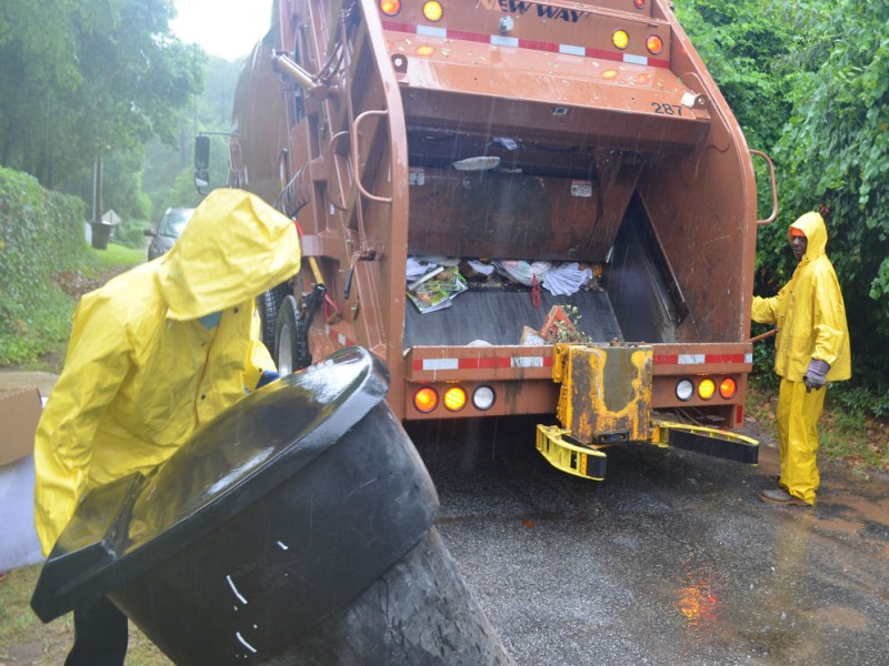
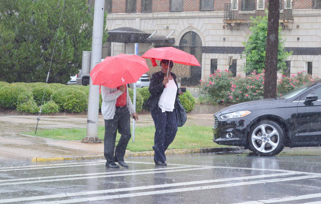
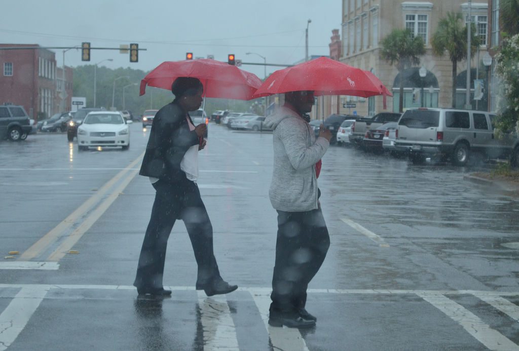
ALBANY — While parts of northern Florida dealt with a state of emergency Monday afternoon and coastal Georgia and South Carolina braced themselves under tropical storm warnings, it seems Southwest Georgia only had to deal with heavy rainful during the past 36 hours as tropical storm Colin made its way inland.
According to reports from the National Weather Service office in Tallahassee, portions of Southwest Georgia were under a flood watch until 2 a.m. Tuesday and Albany was expected to receive between 2.5-5 inches of rainfall through Tuesday morning.
“Our main impression for Albany is going to be heavy rainfall and potential flooding,” said NWS meteorologist Emma Weston. “(The rain) should be ending late (Monday), into (Tuesday).”
Weston said the biggest areas of concern as the rains moved through Southwest Georgia were the Flint River, area creeks and any low-lying areas where water might accumulate rapidly.
“We want to make sure people are aware when they’re out driving not to drive into any flood waters,” said Weston. “And just to be aware of the potential for flooding.”
Fortunately NWS reports late in the day Monday, after the rain had briefly subsided, indicated that none of the area waterways had reached flood stage. Local reports indicate that no major roadways were impacted by the heavy rains, and those that did hold water were passable.
The NWS reported 2.25 inches of rain from 8 a.m. until 5 p.m. Monday at the Albany airport.
Despite that lack of flooding rainy conditions did contribute to some traffic delays and at least one accident on the Liberty Expressway.
The wet conditions were brought on by tropical storm Colin, which was expected to make landfall southwest of Tallahassee late Monday afternoon or evening, but was not expected to deliver any damaging winds, lightning or tornado activity to Southwest Georgia.
Those reports came as a relief to many in the area who had prepared for the worst after Reuters reported Monday that Florida Gov. Rick Scott had declared a state of emergency for several of that state’s counties.
Monday evening, Colin was located off the panhandle of Florida and producing torrential rains and 50 mph winds. Forecasters were also concerned about surf conditions, lightning, hail and tornadoes. The storm was heading north-northeast, according to the National Hurrciane Center of NOAA.
Center officials said the storm did not “look much like a tropical cyclone” Monday evening, with its center “well removed” from showers and thunderstorms. The strongest winds were about 200 nautical miles southeast of the storm center, NHC officials said. The storm was expected to increase wind speed to 65 mph over the next 36 hours, then gradually weaken.
Although forecasts were favorable for Southwest Georgia, the same could not be said for coastal Georgia and South Carolina, both of which were under a NHC tropical storm warning overnight and into Tuesday.
Despite the relatively benign outlooks, Weston is urging Albany area residents to continue monitoring NWS information for any changes.
Related Articles

Federal agency to investigate Monday paragliding fatality
The death of a 63-year-old man who was killed in a paragliding accident on Monday is under investigation by the National Transportation Board, according to Dougherty County Coroner Michael Fowler.
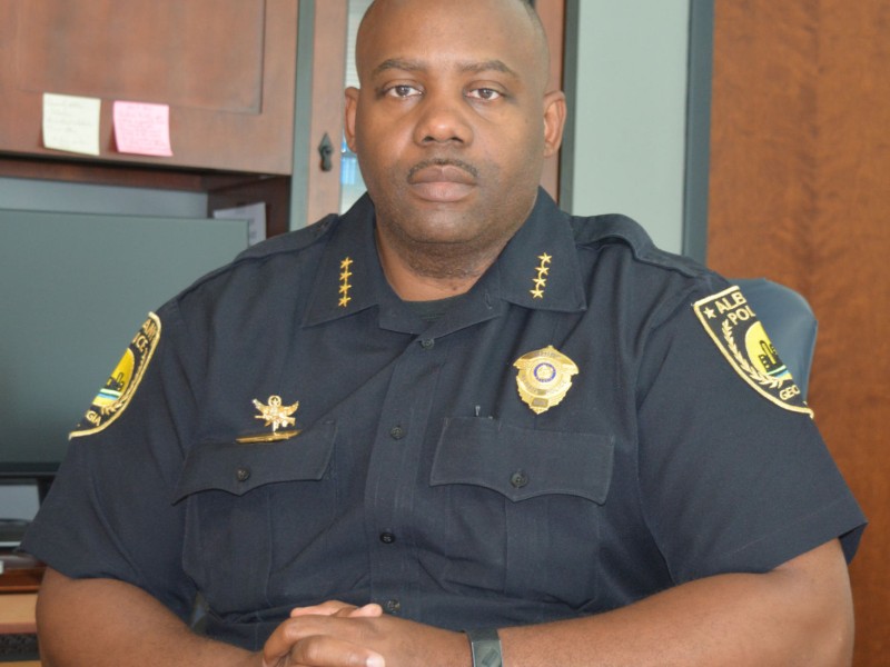
Audit of police surveillance cameras results in arrests of five former APD officers
“The bottom line is when we find people who have misused resources that they have, we’re going to hold them accountable. These resources help fight crime, but we will not tolerate when they are misused.”
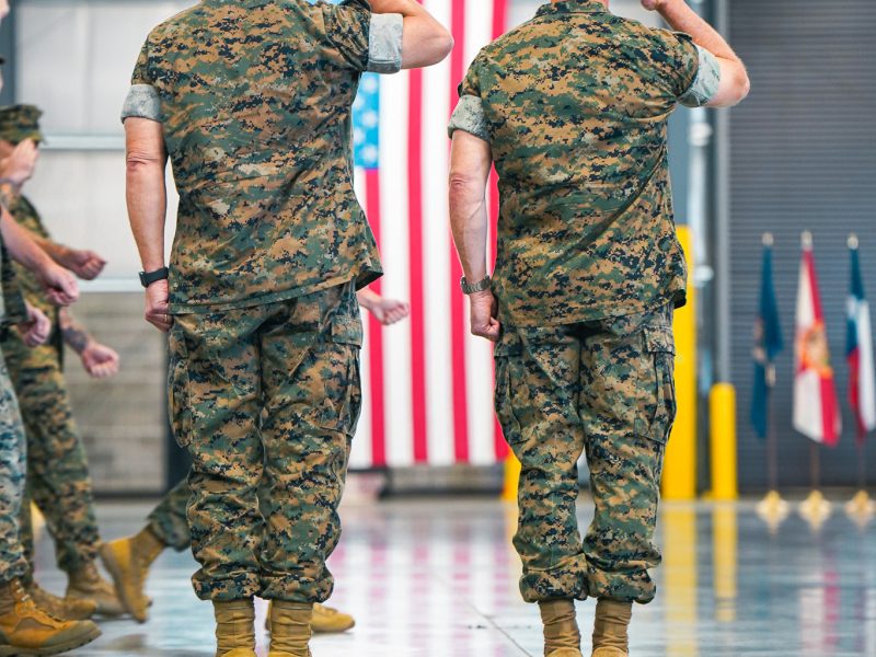
New commander takes helm as Marine Corps logistics adapts to evolving battlefield
Brig. Gen. Kevin G. Collins assumed command of Marine Corps Logistics Command during a change of command ceremony at Marine Corps Logistics Base Albany, succeeding Maj. Gen. Keith D. Reventlow after four years leading the organization responsible for sustaining Marine forces around the globe.
