
Albany has a slight chance of snow early Saturday morning
If a wintry mix develops, it will be 4 a.m.-7 a.m. Saturday
By Jim Hendricks
ALBANY — Don’t get too excited, but there’s a slight chance of wintry mix — maybe even some snow — early Saturday.
“It’s unlikely, but not entirely out of the realm of possibility Saturday morning,” Katie Nguyen, a meteorologist with the National Weather Service office in Tallahassee that covers Southwest Georgia, said. “Most likely, it’s going to stay northwest of you guys.”
The coldest air mass of the season is to move into the area early Saturday, bringing with it lows in the upper 20s. How quickly it arrives and low long moisture lingers will determine whether Southwest Georgia gets any snow flurries.
“There are variations, but one model has been pretty persistently showing it (snow) and the other two have not been showing it as much,” Nguyen said. “What’s making this situation difficult (to predict) is we know there’s going to be plenty of moisture for a good amount of time through Friday night.
“Depending on how things evolve, the cold air could be moving in in time for us to get some snow or wintry precip(itation), but most likely it’s going to come in after the front has passed and the rain will stop before the cold air comes in that would allow us to get that snow.”
If snow does develop, Southwest Georgians will need to get up early to see it. If it shows up, it’ll most likely be sometime between 4 a.m. and 7 a.m. Saturday, Nguyen said.
But don’t grab the sled or start thinking about designs for snowmen. With the above-freezing surface temperature Saturday morning, any snow or wintry mix that comes will quickly melt.
“We’re mostly going to see rain, maybe a few flurries, but it would be at the tail of that (rain) event,” Nguyen said, adding overnight lows will drop from near freezing Friday to the upper 20s for the rest of the weekend.
“Friday night, it’s going to be about 36 up there, really close for wintry precip,” she said. “Then, with the drier, colder air moving in behind it, it’s going to be about 29 Sunday morning and about 27 Monday morning. Definitely going to get some freezing temperatures in the mornings.”
The NWS forecast Thursday afternoon was:
— Friday: Rain chance 100 percent with a half-inch to three-quarters of an inch of precipitation expected. The high will be 43 degrees.
— Friday night: Rain chance 100 percent until 4 a.m., after which it will be likely. Low will be 36 degrees.
— Saturday: Rain likely early, including a possible winter mix. High of 49 with gradually clearing skies. Low Saturday night will be 29.
— Sunday: Clear skies with a high of 48 and an overnight low of 27.
— Monday: A warmer daytime high of 56 with an overnight low of 37.
— Tuesday: Mostly clear with a high of 55 and a low of 33.
Related Articles

Small actions can help save big on utility bills
The high temperatures of July and August can bring scorching utility bills as air conditioners hum to keep houses cool. Albany Utilities Residential Conservation Auditor Willie Jackson offered some tips on making summer cooling bills more manageable.
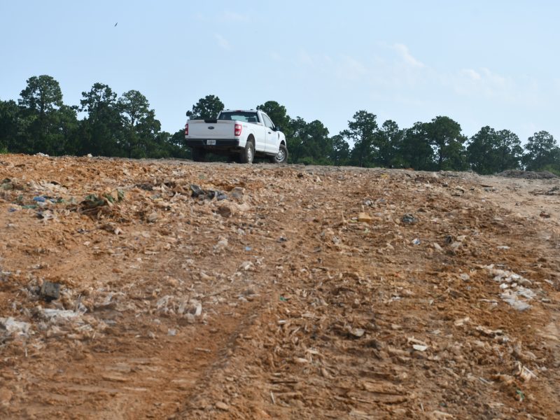
Bigger budget will mean improvements at Dougherty County’s landfill
“It’s certainly an opportunity where we can grow and make this very beneficial for years to the community. It’s a service that we provide for the community and I want to prolong that resource for the community. It’s not just fill it up and close it.”
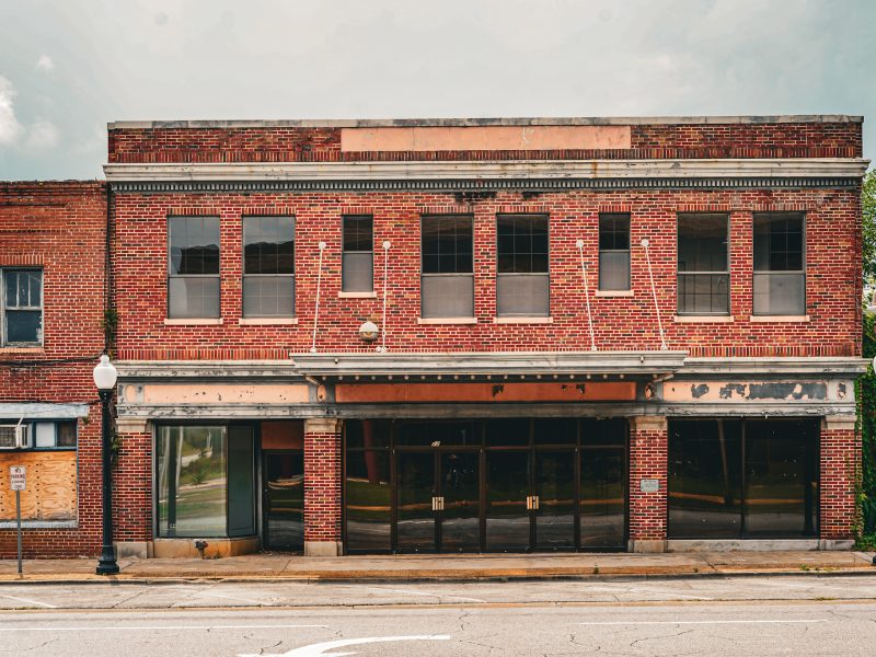
Putting on the Ritz: The rise, fall and renewal of Albany’s Harlem District
On July 7, the Albany City Commission unanimously approved final construction drawings for a comprehensive restoration of the Ritz Theatre and Cultural Center, clearing the way for the project to move into competitive bidding after years of planning and preservation efforts. The decision marks the latest chapter in a decades-long effort to preserve one of Southwest Georgia’s most significant African American landmarks.
