
Coldest air of the season headed for Albany area
Albany work week to open warm, end wet and chilly
By Jim Hendricks
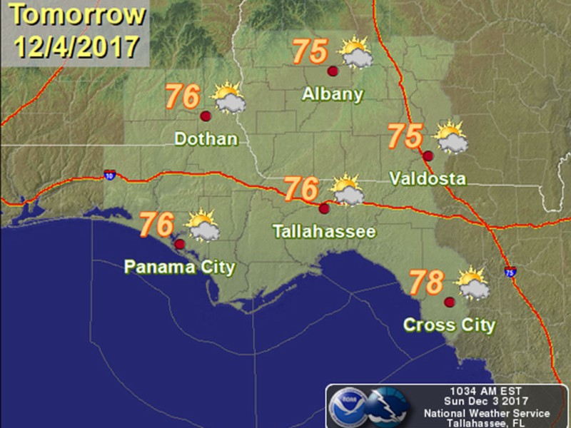
ALBANY — You might want to get the sweaters ready. It’s going to start feeling a lot like Christmas in the latter part of this week as the coldest air of the season is expected to arrive.
After some midweek rain moves through, a dry start to the week with above-average temperatures in the mid-70s will give way to a chilly second half, with the low in Albany expected to reach freezing overnight Friday, the National Weather Service forecast Sunday.
With Monday topping out at 75 degrees and a mild overnight low of 54, Tuesday will be a bit warmer, reaching 78 as a low pressure system moves into the area with moisture moving in ahead of it. NWS forecasters say parts of the area can expect as much as 1.5 inches of rain Tuesday afternoon. Normal highs time of this year are around 67 degrees, with normal lows of 43.
“A sharp cold front will … move southeastward during this time, approaching the northwestern corner of our (region) by Tuesday evening,” NWS meteorologist Andy Lahr wrote in the forecast discussion. “As a result of the forcing and increasing moisture, rainfall chances will increase across our northwestern areas on Tuesday, with the best chances in this period during the late afternoon and early evening.”
The moisture could make a small dent in the year’s rain deficit, which for Albany is nearly 9.3 inches.
Lahr said minimal instability is expected to be associated with the cold front, so “thunderstorms are not anticipated at this time. However, ample deep layer moisture and strong forcing from the front and upper trough will result in rain likely across much of our area during this period. While the front will be well southeast of our area by Wednesday night, rain chances will not end.”
The forecast calls for a secondary surge of moisture to push northeastward from the Gulf across Southwest Georgia and north Florida, “especially from Thursday through Thursday night,” Lahr said. “Also, favorable upper dynamics will enhance rainfall potential as our area will be under the right entrance region of a strong upper level jet.”
A potential vorticity anomaly (stratospheric air intruding into the upper troposphere) also will move through the region Thursday night, increasing rainfall chances.
Meanwhile, he said, following the front Tuesday will be the “coolest air mass so far this season,” which means highs will only reach the 50s Wednesday through Friday. Lahr said some inland areas where cloudy conditions and chances of rain prevail could struggle to get above the 40s.
“Lows will range from the 30s to lower 40s across our area beginning Wednesday night,” he said. “A reinforcing shot of cool air is expected this weekend as a secondary (likely dry) cold front moves across our area.”
After that second front pushes through, he said, “a freeze is possible for much of our area, especially on Saturday night or Sunday morning as high pressure builds into our region. Highs will remain in the 50s for most of our area during the weekend.”
The NWS forecast for the Albany work week is:
— Monday: high, 75; low, 54;
— Tuesday: high, 78; low, 53; 20 percent rain chance after 1 p.m. increasing to 70 percent;
— Wednesday: high, 59, low, 39; rain chance 60 percent daytime dropping to 20 percent;
— Thursday: high, 51; low, 37; 40 percent chance of rain all day;
— Friday: high, 53; low, 32; rain chance 20 percent daytime but becoming clear that night.
Related Articles

Small actions can help save big on utility bills
The high temperatures of July and August can bring scorching utility bills as air conditioners hum to keep houses cool. Albany Utilities Residential Conservation Auditor Willie Jackson offered some tips on making summer cooling bills more manageable.
Bigger budget will mean improvements at Dougherty County’s landfill
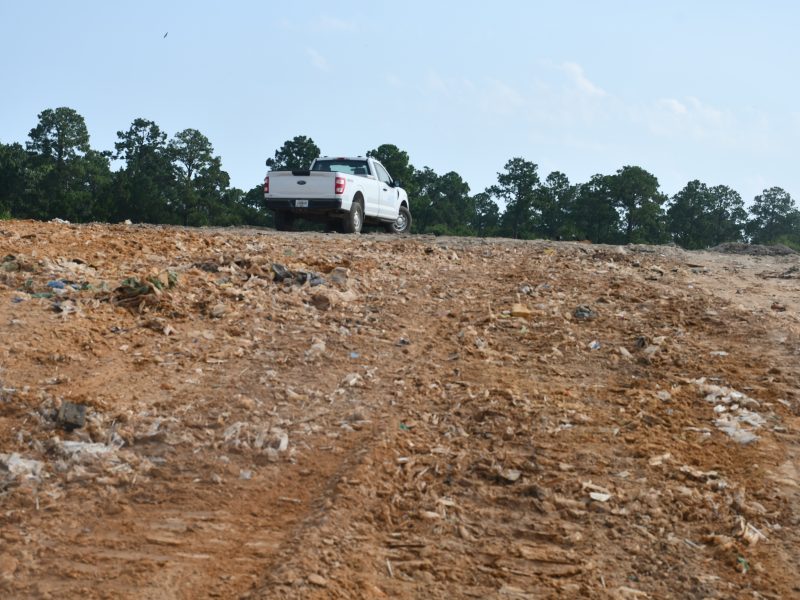
“It’s certainly an opportunity where we can grow and make this very beneficial for years to the community. It’s a service that we provide for the community and I want to prolong that resource for the community. It’s not just fill it up and close it.”
Putting on the Ritz: The rise, fall and renewal of Albany’s Harlem District
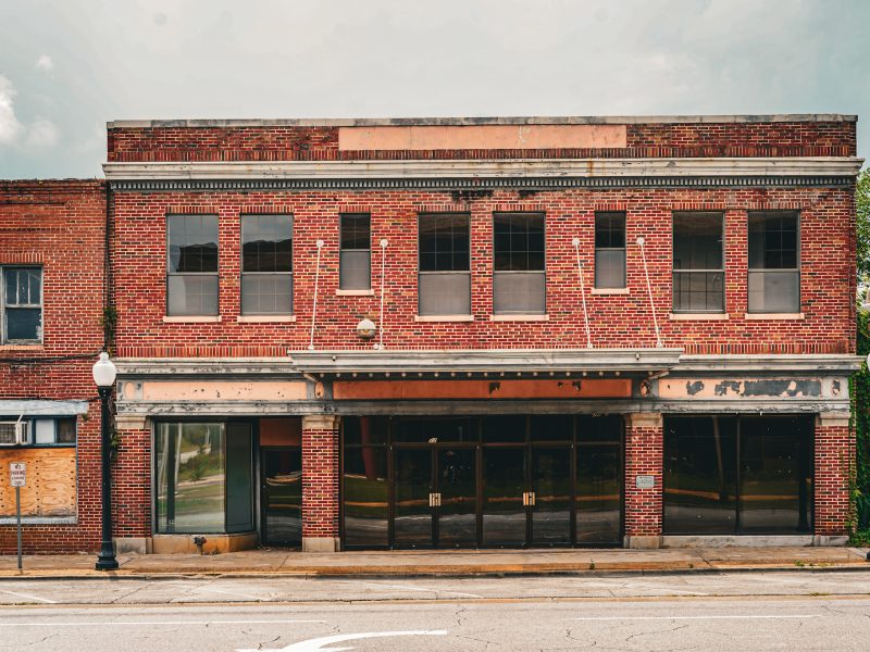
On July 7, the Albany City Commission unanimously approved final construction drawings for a comprehensive restoration of the Ritz Theatre and Cultural Center, clearing the way for the project to move into competitive bidding after years of planning and preservation efforts. The decision marks the latest chapter in a decades-long effort to preserve one of Southwest Georgia’s most significant African American landmarks.
