
Southwest Georgia’s weekend forecast improves as Nate’s track shifts westward
Albany moves from the cross-hairs to the fringe of hurricane’s likeliest path
By Jim Hendricks
ALBANY — It’s too early to say whether Albany and Southwest Georgia are in the clear from Tropical Storm Nate, but projections for the soon-to-be hurricane’s likely path have improved for the region.
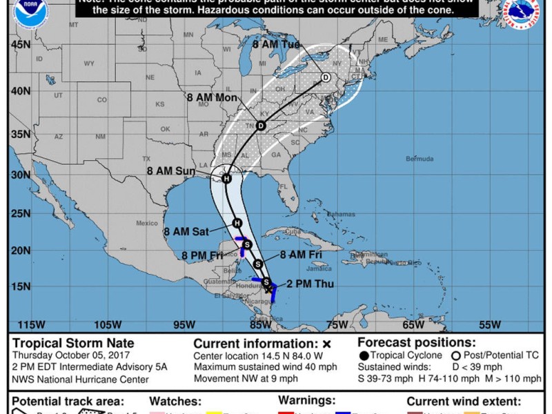
That, however, can’t be said for the Gulf Coast area of Louisiana and Mississippi, which appears to be the likeliest landfall spot for Nate, which is expected to be a Category 1 cyclone when it make landfall in the U.S. sometime around 8 a.m. Sunday.
Early Wednesday afternoon, the National Hurricane Center was forecasting that Nate would arrive much further east, with the center of the cone of probability near Panama City, Fla., and the center of the track taking it near Albany. The forecast for Southwest Georgia improved dramatically overnight, provided Nate’s track doesn’t shift back eastward.
“The (forecast) certainly has (improved) for now,” Jane Hollingsworth, meteorologist in charge of the National Weather Service office in Tallahassee that covers Southwest Georgia, said Thursday afternoon. “For now, the track has shifted west to the Mississippi and Louisiana coast.”
Nate passed through Nicaragua on Thursday and was expected to be near hurricane strength when it reaches the Yucatan Peninsula on Friday. The maximum wind speed projected is 80 mph, which would make Nate a minor hurricane when it hits the Mainland.
“Nate is forecast to reach the northern Gulf Coast this weekend as a hurricane, and the threat of direct impacts from wind, storm surge and heavy rainfall is increasing,” the NHC forecast said Thursday. “However, it is too early to specify the exact timing, location or magnitude of these impacts.”
On Thursday afternoon, the NHC’s probability cone had Nate’s likeliest southernmost entry point in Georgia around Columbus, with it taking a diagonal path through the state toward Pennsylvania and New England. That could bring a danger of tornadoes to the western part of the Southwest Georgia region.
The western edge of the cone had it moving through western Mississippi and into Indiana and Ohio, which would miss Georgia altogether.
The track change has taken a great deal of wind out of the Albany area forecast, something local residents won’t object to. Wednesday forecasts had the area facing winds of 30 mph or better from noon Sunday to 1 a.m. Monday, with the highest sustained winds at 37 mph around 5 p.m. and gusts up to 48 mph. Prospects Thursday were much calmer, with winds predicted to stay between 6-9 mph all day.
The likelihood of the system making a major dent in the area’s rainfall deficit — the early forecast for Sunday was a 70 percent chance of precipitation — also took a hit with the changed track. According to statistics from AWIS Weather Service, Albany’s rain deficit for 2017 stands at slightly more than 7 inches.
“We’re think in terms of rainfall, the western areas (of the region) will see the most, maybe up to 6 inches,” Hollingsworth said. “The Albany area will probably be an inch to 3 inches if the current track holds.”
Related Articles

Small actions can help save big on utility bills
The high temperatures of July and August can bring scorching utility bills as air conditioners hum to keep houses cool. Albany Utilities Residential Conservation Auditor Willie Jackson offered some tips on making summer cooling bills more manageable.
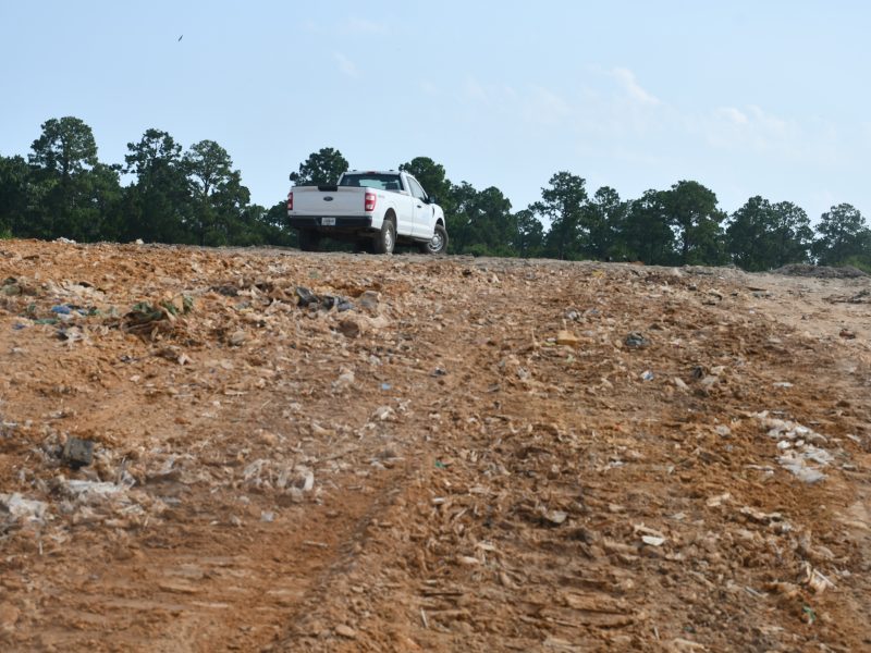
Bigger budget will mean improvements at Dougherty County’s landfill
“It’s certainly an opportunity where we can grow and make this very beneficial for years to the community. It’s a service that we provide for the community and I want to prolong that resource for the community. It’s not just fill it up and close it.”
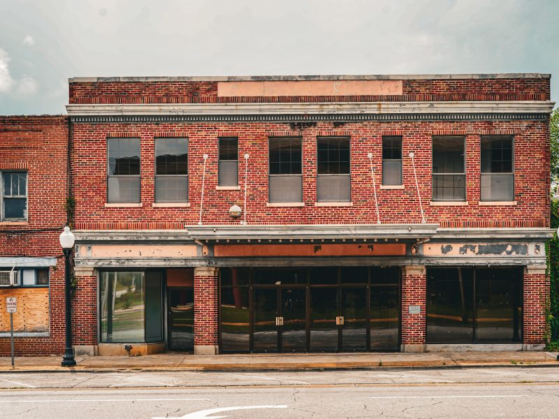
Putting on the Ritz: The rise, fall and renewal of Albany’s Harlem District
On July 7, the Albany City Commission unanimously approved final construction drawings for a comprehensive restoration of the Ritz Theatre and Cultural Center, clearing the way for the project to move into competitive bidding after years of planning and preservation efforts. The decision marks the latest chapter in a decades-long effort to preserve one of Southwest Georgia’s most significant African American landmarks.
