Storm impact analysis begins again in Southwest Georgia
Brunt of severe weather steers northward of the Albany area
By Jennifer Parks
ALBANY — The National Weather Service sent out survey teams on Thursday to better determine the impacts of the severe weather system that roared through Georgia Wednesday, but indications are that the metro Albany area was spared the worst of it.
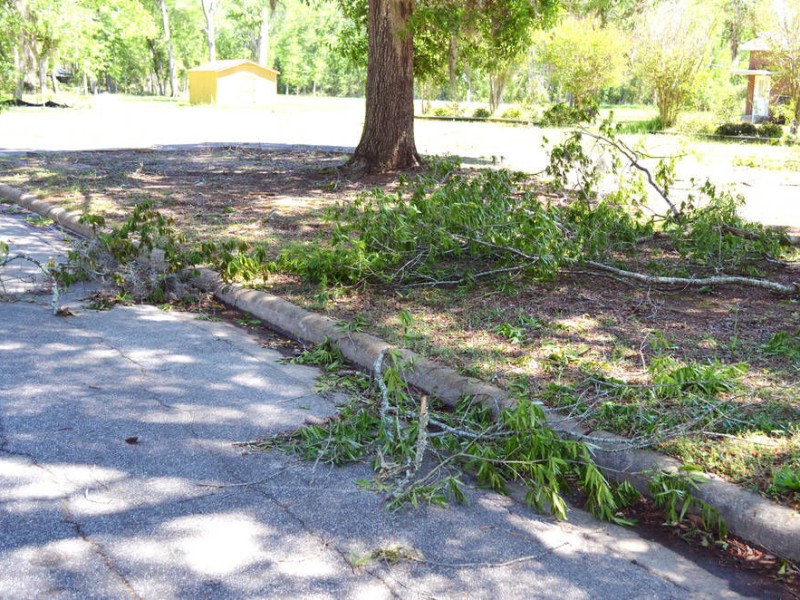
“Wednesday’s storm had no reported damage,” Dougherty County Emergency Operations Director Ron Rowe said. “The fire department only made two storm-related calls. One was a tree limb on a wire and the other was a lightning strike that did not result in a fire, but scared the people, which they should have been. As far as we know, there has been no reported damage.
“We dodged a bullet this time. Both Dougherty County and MCLB both waited until about 7:30 p.m. last night before we felt like we were good to go and closed the EOC. Most everything went just north or south of us. We got a lot of much needed rain, but we were fortunate this time when it came to wind.”
Parks Camp, with the NWS office in Tallahassee, said Thursday there is one tornado officials were aware of that impacted Quitman County and moved toward Americus, and that golf ball-sized hail was reported in Ashburn.
Southwest Georgia was under a tornado watch until 8 p.m. Wednesday, with warnings active in the region north of Albany in the time frame from about 1:15 p.m. to 3 p.m. Reports from Wednesday afternoon indicated a large twister at Maddox near Americus was on the ground at 1:28 p.m.
Details concerning how long the twister was on the ground and its strength had yet to be determined on Thursday.
“We have a couple of crews looking at that right now,” Camp said.
Camp added that Southwest Georgia was fortunate that the results were not worse, and that those living in the area can look forward to cool, dry weather for the next couple of days.
“It will cool off and it will be much nicer weather,” he said. “It has definitely been an active year. There has been a lot of activity going back to January.”
Two severe weather systems came through Albany in January, including a deadly EF-3 tornado that traveled on the ground nearly 71 miles on Jan. 22.
Lauren Merritt, with the NWS office in Peachtree City, said parts of the state saw waves of storms starting early in the Wednesday morning and running through about 10 p.m.
“There was more activity in central Georgia,” she said. “We will have a survey team out today and for the next few days.”
Merritt said the activity was not as heavy as what was seen on Monday, which primarily brought distress to the Columbus area, but that the Wednesday storms appeared to be stronger and longer lasting. The rainfall in the Atlanta area was 4.27 inches, which is a daily record for the area.
“Our previous record was 1.57 inches,” Merritt said.
Overall, Merritt said, the activity observed on Wednesday was about the level that had been expected. Predictions showed that parts of the state were at a moderate risk for severe weather, forecasts that came earlier than would often be expected.
“Storm predictions said we were at a moderate risk a couple of days out,” she said. “That is not rare, but that is not something that happens every day.
“It was pretty much what we expected.”
The 10 p.m. Wednesday wave north of the south Georgia region started off as isolated, and warnings and significant weather alerts were sent out as the line began to come together, informing the impacted those in the impacted area that penny- to quarter-sized hail was possible.
While there was some severe threat with the late wave, it did not pose the level of risk associated with the wave that hit in the afternoon, Merritt said.
“We are still trying to get reports (on what was observed),” she said. “There are a few potential areas we need to do surveys on. There was some (activity) seen (toward) southeastern Georgia.
“Until we get the survey out, it is hard to say.”
A cold front stuck with many of the affected parts of Georgia on Thursday, which was associated with wind advisories bringing in 15-25 mph winds with gusts up to 35 mph.
Many of the schools in Southwest Georgia region were closed Wednesday in anticipation of the storms, along with some government offices in Albany and Leesburg that closed at noon. The Albany area came back to life Thursday, including the Dougherty County School System and Marine Corps Logistics Base-Albany — which had largely closed down at noon due to the incoming storms.
Shelters were opened in Albany on Wednesday along with the Emergency Operations Center in Dougherty County. Officials said Wednesday afternoon that more than 200 people had taken advantage of the shelters, indicating that feelings of fear might have still been lingering from the severe weather in January.
Related Articles

Dougherty Jail graduates first class of female GED recipients
“It was an escape. I can say this has been challenging. I want to express my gratitude for being able to attend this program.”

From cotton to cloud: In the data center debate, is rural Georgia once again being asked to carry the cost?
Across much of rural Georgia, the abandoned cotton warehouses and shrinking tax bases remain — enduring reminders that industries built to serve distant markets do not necessarily stay rooted in the communities that first sustained them.

Dawson Council approves $400,000 lifeline in emergency meeting as financial accountability remains elusive
Less than a week after city officials publicly acknowledged the City of Dawson cannot continue operating without additional financing, the Dawson City Council convened a hastily called emergency meeting Tuesday evening and unanimously approved authority to borrow up to $400,000 through a tax anticipation note.